Features: (Please include a full, comprehensive list of the features of the product)
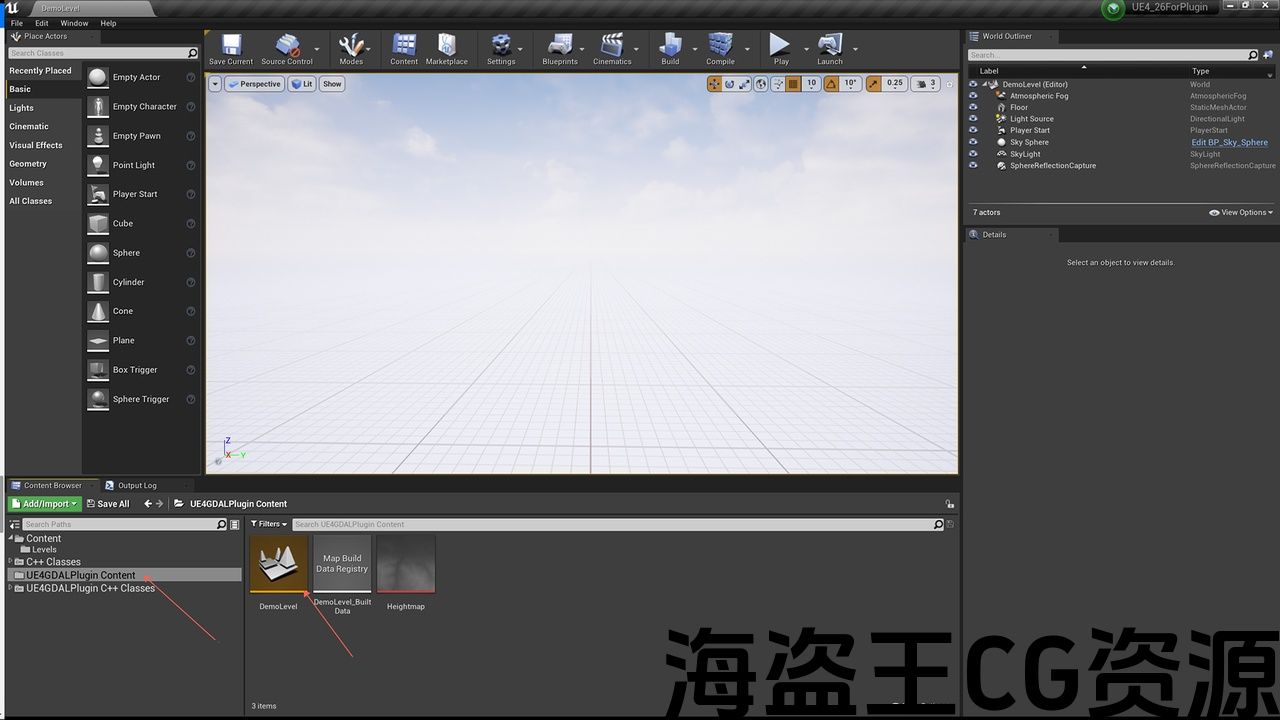
- easy to use(Open PlugineContent/DemoLevel to use)
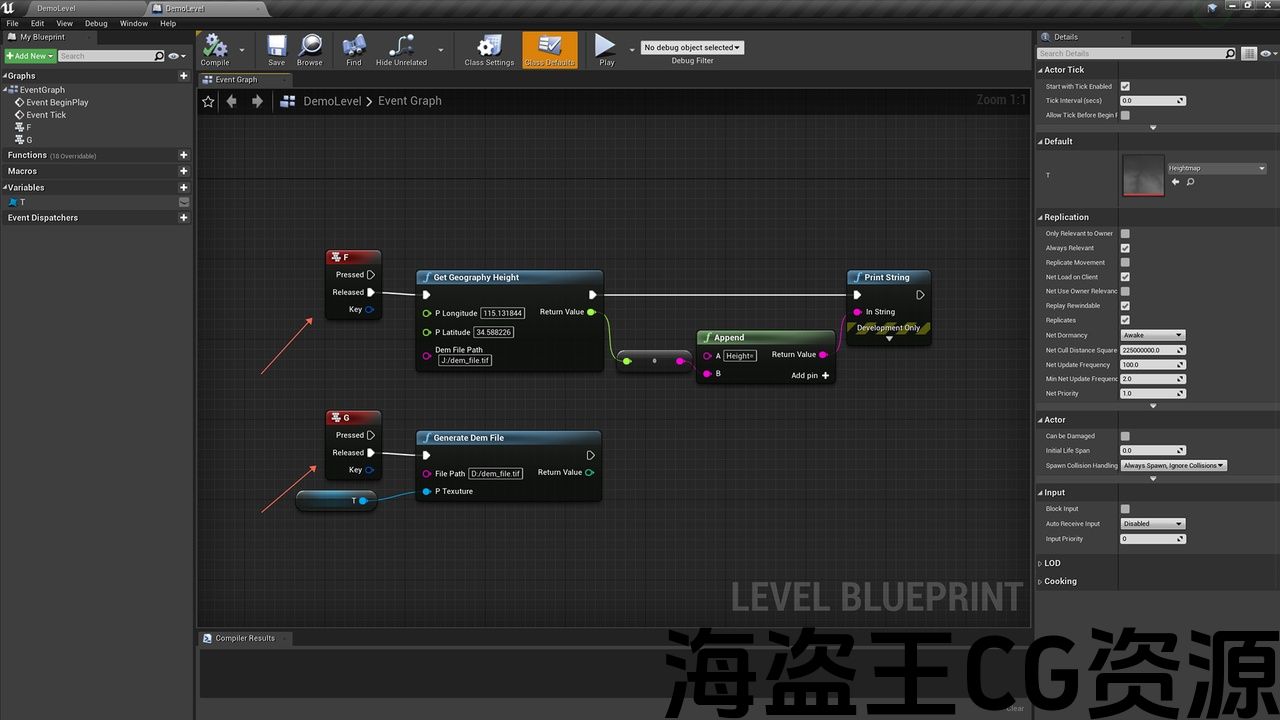
- read .tif geographic data file
- write .tif geographic data file
- almost all data formats are supported
Code Modules: (Please include a full list of each Plugin module and their module type (Runtime, Editor, etc.))
- UE4GDALPlugin(Runtime)
Number of Blueprints:2
Number of C++ Classes:1
Network Replicated: (No)
Supported Development Platforms: (Windows)
Supported Target Build Platforms: (Win64)
Documentation: Link (https://1drv.ms/w/s!AsE7pB1NyU7jkiPuw4pZgGBswlyi?e=QelItM) the documentation
特点:(请包括一个完整的,全面的产品功能列表)
- 易于使用(打开插件/拆卸)
- 讀!.tif地理数据文件
- 写。tif地理数据文件
- 支持几乎所有数据格式
代码模块:(请包括每个插件模块及其模块类型(运行时,编辑器等)的完整列表。))
- UE4GDALPlugin(运行时)
蓝图数目:2
C++类数:1
网络复制:(否)
支持的开发平台:(Windows)
支持的目标构建平台:(Win64)
文档:链接(https://1drv.ms/w/s!AsE7pB1NyU7jkiPuw4pZgGBswlyi?e=QelItM)的文档


*Base on GDAL(Geospatial Data Abstraction Library)
* Digital Elevation Model(DEM)
* Working with geographic data
*read tif file
*write tif file
*GDAL is a translator library for raster and vector geospatial data formats that is released under an X/MIT style Open Source License by the Open Source Geospatial Foundation. As a library, it presents a single raster abstract data model and single vector abstract data model to the calling application for all supported formats.
* It also comes with a variety of useful command line utilities for data translation and processing.
*基于GDAL(地理空间数据抽象库)
*数字高程模型(DEM)
*处理地理数据
*读取tif文件
*写入tif文件
*GDAL是栅格和矢量地理空间数据格式的翻译库,以X/MIT风格的开源发布 许可证 由 开源地理空间基金会. 作为一个库,它为所有支持的格式向调用应用程序呈现单个栅格抽象数据模型和单个矢量抽象数据模型。
*它还附带了各种有用的命令行实用程序,用于数据转换和处理。
评论(0)